Table of Contents
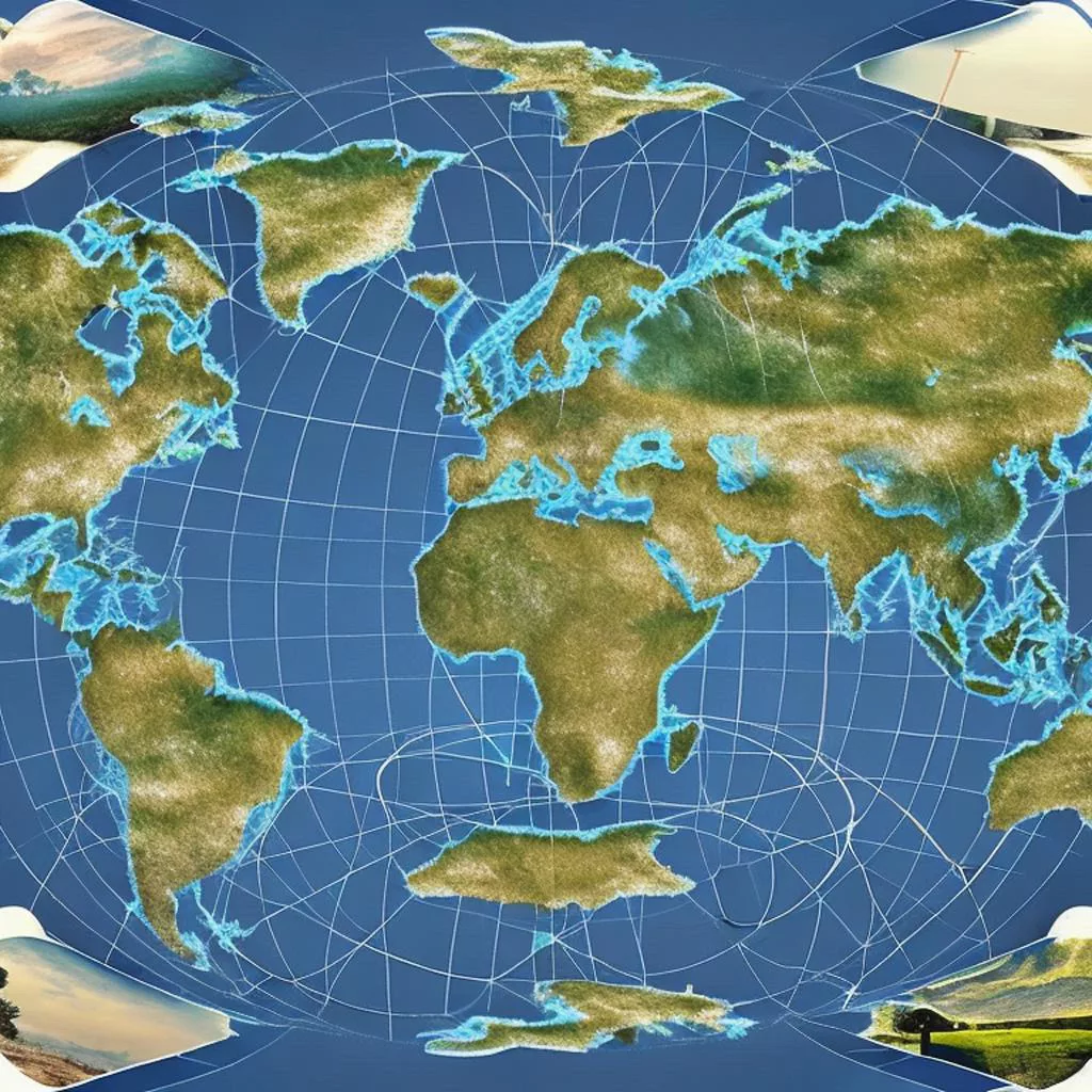
Projections used to represent the Earth on a geographical map
There are many different projections used to represent the Earth on a geographical map, each with its own advantages and disadvantages. Some of the most commonly used projections include:
- Mercator Projection: One of the most widely recognized projections, it is often used for nautical charts and world maps. It distorts land masses near the poles, but is useful for showing accurate directions and shapes of continents.
- Peters Projection: This projection aims to provide a more accurate representation of land masses, particularly in the Southern Hemisphere, where they are often distorted on the Mercator projection.
- Gall-Peters Projection: Similar to the Peters Projection, this projection provides a more accurate representation of land masses, but also distorts the shapes of countries near the equator.
- Robinson Projection: This projection is designed to balance the distortions of the Mercator projection with the accuracy of the Peters projection. It is often used for world maps and atlases.
- Mollweide Projection: This projection is an equal-area projection, meaning that it accurately represents the relative size of land masses, but distorts their shapes.
- Sinusoidal Projection: This equal-area projection is useful for showing the relative sizes of land masses near the equator.
- Albers Equal-Area Conic Projection: This projection is useful for maps that need to show accurate relative sizes of land masses, particularly in the continental United States.
- Transverse Mercator Projection: This projection is often used for large-scale maps, such as topographical maps, because it provides accurate measurements of distances and shapes of objects in a small area.
- Lambert Conformal Conic Projection: This projection is useful for maps that show large areas, such as maps of countries or continents, because it provides a good balance of shape and area accuracy.
- Azimuthal Equidistant Projection: This projection is useful for maps that show one hemisphere or a small area around the equator, because it provides accurate measurements of distances from the center of the map.
- Stereographic Projection: This projection is often used for polar maps, because it provides a good representation of the shapes of land masses near the poles.
- Gnomonic Projection: This projection is useful for maps that show a small area, because it provides accurate measurements of angles and shapes of objects in a small area.
These are just a few examples of the many different projections that are used to represent the Earth on a geographical map. The choice of projection depends on the specific needs and requirements of the map, such as the area being mapped, the purpose of the map, and the desired level of accuracy.
Pros and cons of most common projections
Here are the pros and cons of some of the commonly used projections:
Mercator Projection
Pros:
- Accurately shows directions and shapes of continents.
- Easy to understand and widely recognized.
Cons:
- Distorts land masses near the poles, making them appear much larger than they actually are.
- Not suitable for world maps that need to show accurate sizes of land masses.
You can find Mercator projections on many nautical charts and world maps.
Peters Projection:
Pros:
- Provides a more accurate representation of land masses, particularly in the Southern Hemisphere.
- Helps to correct the distortions of the Mercator projection.
Cons:
- Distorts the shapes of countries near the equator.
- Not as widely recognized as the Mercator projection.
You can find Peters projections on some world maps and educational materials.
Robinson Projection:
Pros:
- Balances the distortions of the Mercator projection with the accuracy of the Peters projection.
- Provides a good representation of the world as a whole.
Cons:
- Distorts the shapes of land masses, particularly near the poles.
- Not as widely recognized as the Mercator projection.
You can find Robinson projections on many world maps and atlases.
Mollweide Projection:
Pros:
- Accurately represents the relative size of land masses.
- Useful for maps that show the distribution of populations and resources.
Cons:
- Distorts the shapes of land masses, particularly near the equator.
- Not suitable for maps that need to show accurate shapes of land masses.
You can find Mollweide projections on some world maps and educational materials.
Albers Equal-Area Conic Projection:
Pros:
- Accurately represents the relative size of land masses, particularly in the continental United States.
- Useful for maps that show the distribution of populations and resources.
Cons:
- Distorts the shapes of land masses, particularly near the poles.
- Not as widely recognized as the Mercator or Peters projections.
You can find Albers Equal-Area Conic projections on some maps of the United States and North America.
These are just a few examples of the pros and cons of different projections. The choice of projection will depend on the specific needs of the map and the desired level of accuracy.
On a side note
What is flat earth projection as used by ancients?
The ancient Greeks and Romans, like many cultures throughout history, believed that the Earth was flat. This belief was reflected in the way they represented the world on maps and in their geography. The flat earth projection used by the ancients was likely a simple, two-dimensional representation of the world, with the Mediterranean Sea at the center and the known lands arranged around it. This projection was not based on any mathematical formula or scientific principles, but rather on the limited knowledge and understanding of the world that was available at the time.
It’s worth noting that the ancient Greeks and Romans also had a more accurate understanding of the spherical shape of the Earth, and this knowledge was passed down through the centuries. By the Middle Ages, the spherical shape of the Earth was widely accepted in Europe, and maps began to reflect this understanding. Nevertheless, the flat earth projection remained an important part of ancient geography and helped to shape our understanding of the world.
Shop tip
Projections used to represent the Earth on a geographical map On Amazon
Thank you for reading, shares and comments!
✨ Comment Policy ✨
We welcome thoughtful, kind, and constructive comments that contribute to meaningful conversations.
Please note:
- Promotional links and unsolicited offers will be removed.
- Spam, irrelevant content, or self-promotion without prior permission will not be published.
- We value quality engagement over quantity — thank you for helping us keep this a respectful and inspiring space!
Sources openai Language models, aitrot, picsart and mib
Take time to learn
Invest in your future
Embark on a journey into the realm of affiliate marketing and craft your own website within a vibrant, supportive community. Join me in this adventure, where you can begin as a free starter and stay as long as you desire. Enjoy complimentary hosting and foundational teachings to set you on your path. For those with advanced skills, opportunities to elevate your expertise await. Take a moment to explore and witness the magic for yourself!


